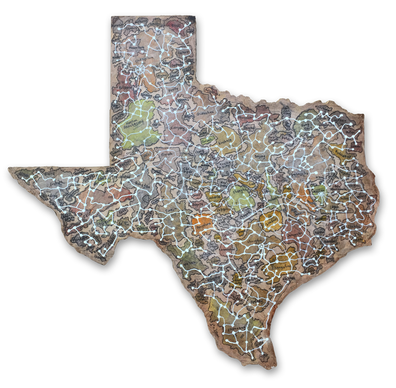
TEXASWORLD Plan
Acres in Texas: 171,904,640
World Population: 6,602,224,175
= 38.5 people per acre. Density Goal: 10 dwellings/acres = 3.8 people per dwelling.
If the world was turned into a Monopoly® Game. How long would it take to become unbalanced again? Can we make everything even? Is equality a possibility? Let’s give everyone the same access to food, shelter, etc., what would happen?
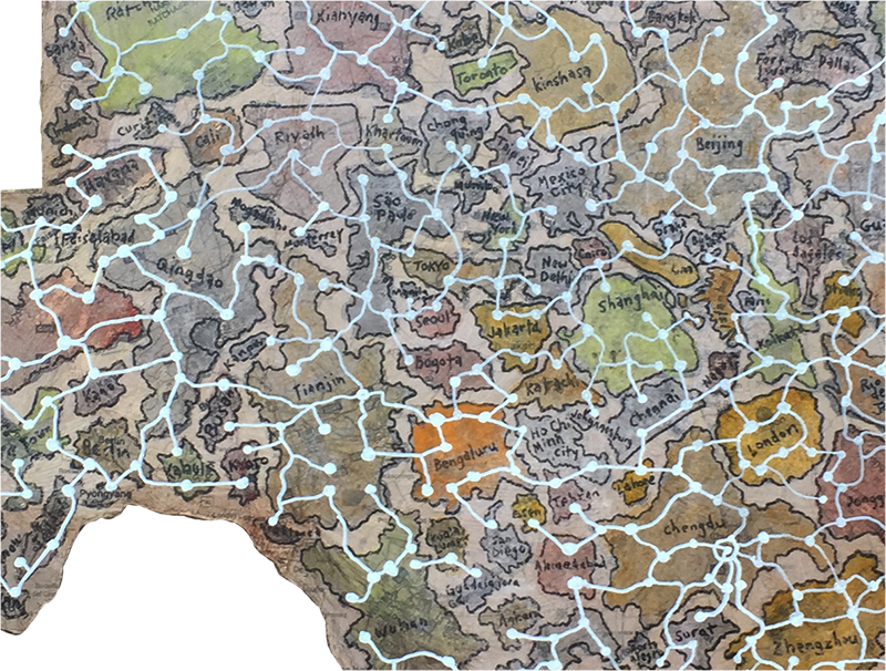
I mapped the 150 most populated world cities into the map of texas at 1″ = 20 miles. I found that so many cities have such a small footprint, while the largest cities in China occupy such large swatches of land it overwhelmed some of the space in the map. It was quite a contrast to see in front of me.

The exercise of connecting the cities with the white constellation reminds me of an internet that doesn’t have to follow any particular geographical order, but can jump randomly in any direction.
The idea of having the iconic shape of Texas as the first thing you see give an impression of one type of mindset. In many ways the shape of Texas is as recognizable as the U.S. map. Texas also is an strange representation of a “typical American” so it seems appropriate to use this shape as a generalization of our society.
Also, Texas having flown under six different country flags also seems to be a kind of reminder of the history of the state.
