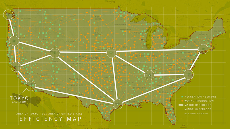
Thinking about the density of Tokyo and what it would be like to reduce our overall land footprint in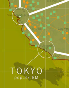 the the United States to a microscopic level. I chose 10 locations to more than equal our population with a 25 year estimated advance in growth.
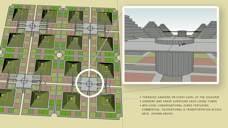
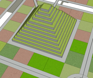
All living areas, cities that already have a dense population that can be migrated into the most efficient living centers – ziggurats that employ gardens and parks in proportion to each tower. With commercial areas for meeting and transportation centers to collect people at HyperLoop + This one too, hubs to easily get to specific work and recreational zones located around the U.S.
We currently have developed less than 5% of our land, but with focused density we could cut this by a factor of 100. Then use 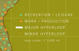 more open space for recreation and leisure. Also, by focusing our
agricultural and manufacturing to more efficient locations and geographic relationships we would gain a very powerful use of land.
We can start to be more efficient with how we handle our water, energy needs, food, living environment, daily regimen of exercise, human interaction and social connectedness.
 Other Research:
